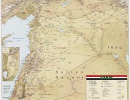
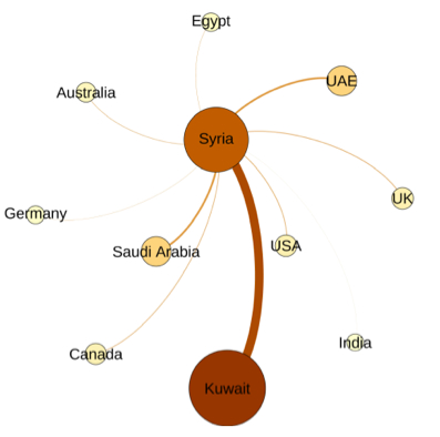
A New Map of Syria
Social media supports the formation of communities that span traditional borders and link together people around topical events. When the topic of discussion is a particular state we can refer to these connected virtual communities as the polycentric virtual equivalent of the corresponding state. Echoing President Kennedy’s Ich bin ein Berliner speech of June 1963, today the international community is #Syrian as it watches events unfolding. Identifying, mapping, and analyzing this virtual #Syria nation provides a unique opportunity to observe and understand the links that connect people around the world.
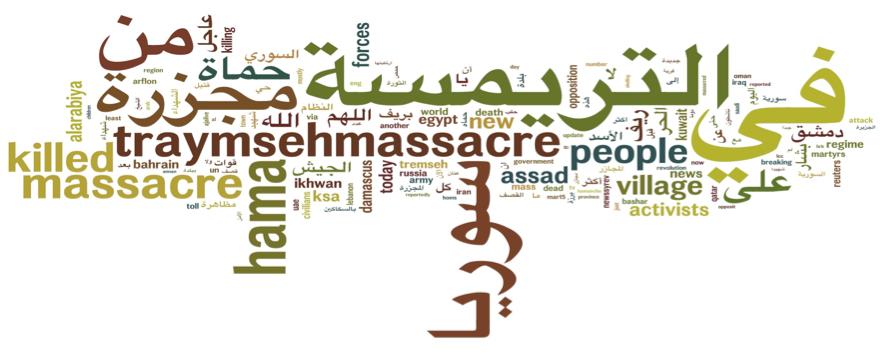
The online community bypasses state authority to break news events, as was the case in July 2012 when the Twitter community first reported the massacre in Tremseh. This wordcloud, formed from Twitter feeds at the time, uniquely captures this event.
By analyzing the links formed among citizens of various countries we can identify the structure of the polycentric virtual #Syria, and create a new type of a political map, one that captures citizen connections that link places rather than geographical boundaries that separate them.
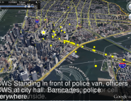
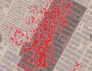
The above is the map to which we refer earlier